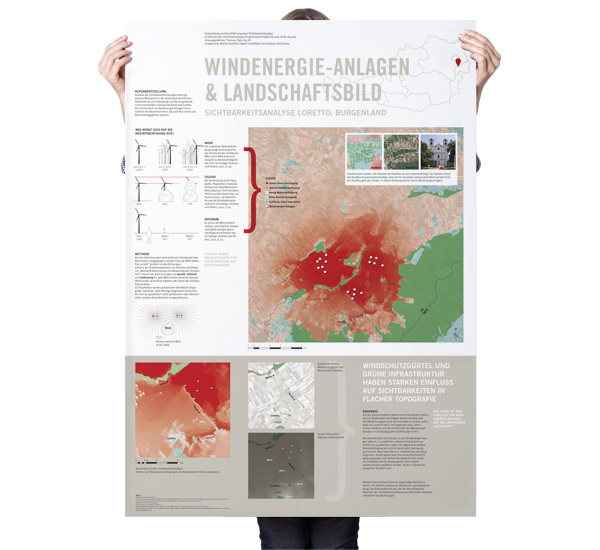
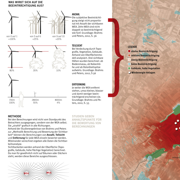
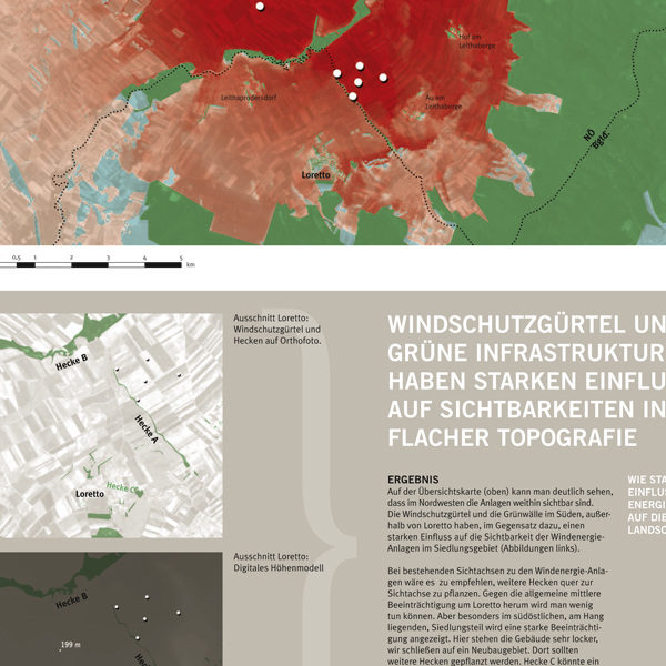
GIS-Based Viewshed Analysis & Methodology
This project involved conducting a technical visibility study for wind energy plants using ArcGIS. Beyond the spatial analysis, I focused on the visual communication of the process. I developed a presentation poster that uses infographics and detailed documentation to explain the technical steps and data sources. This approach ensures that the analysis is methodologically sound and easy to follow.